out on Lake Superior on a boat
traveling around and learning about Grand Island
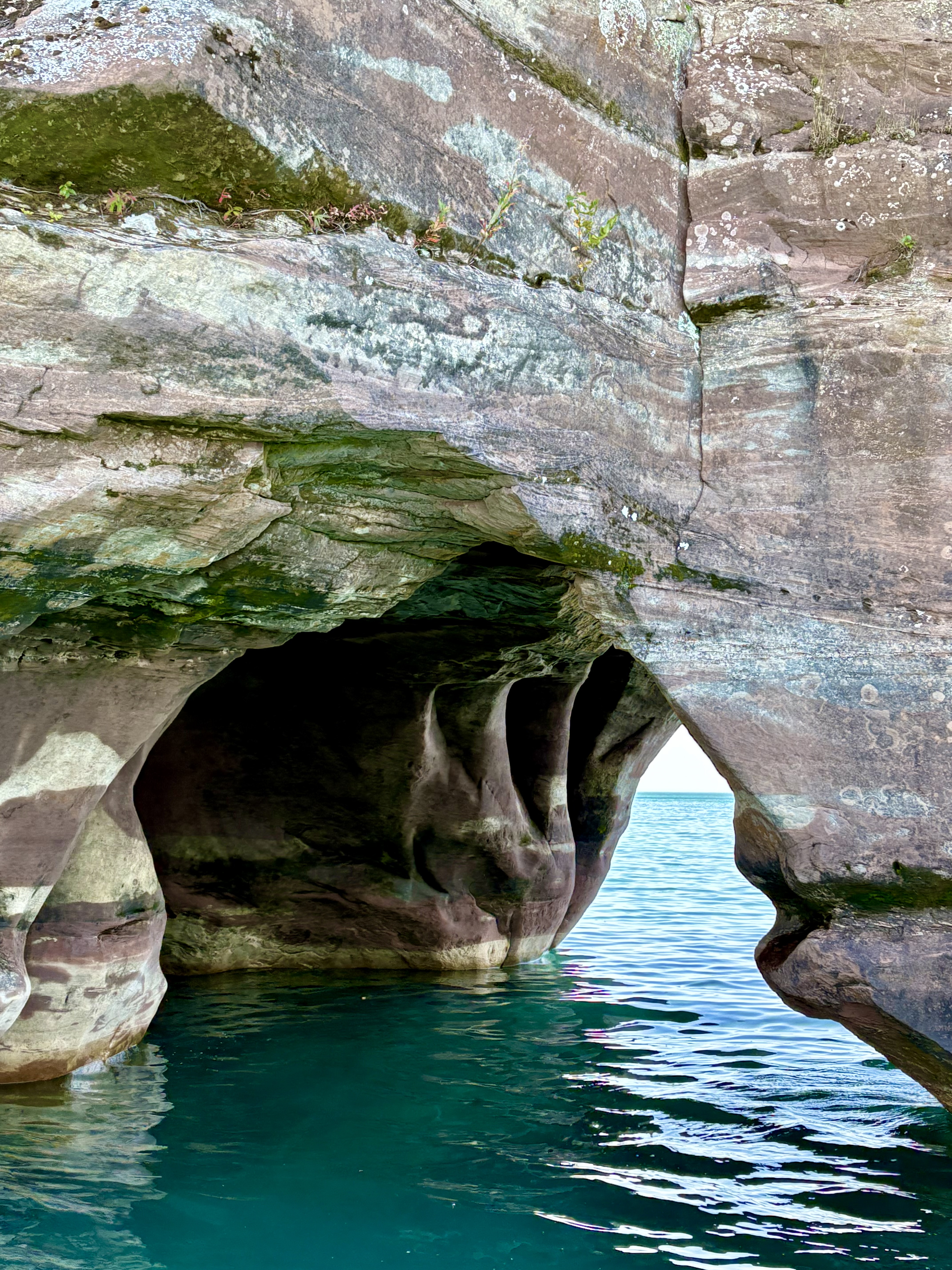
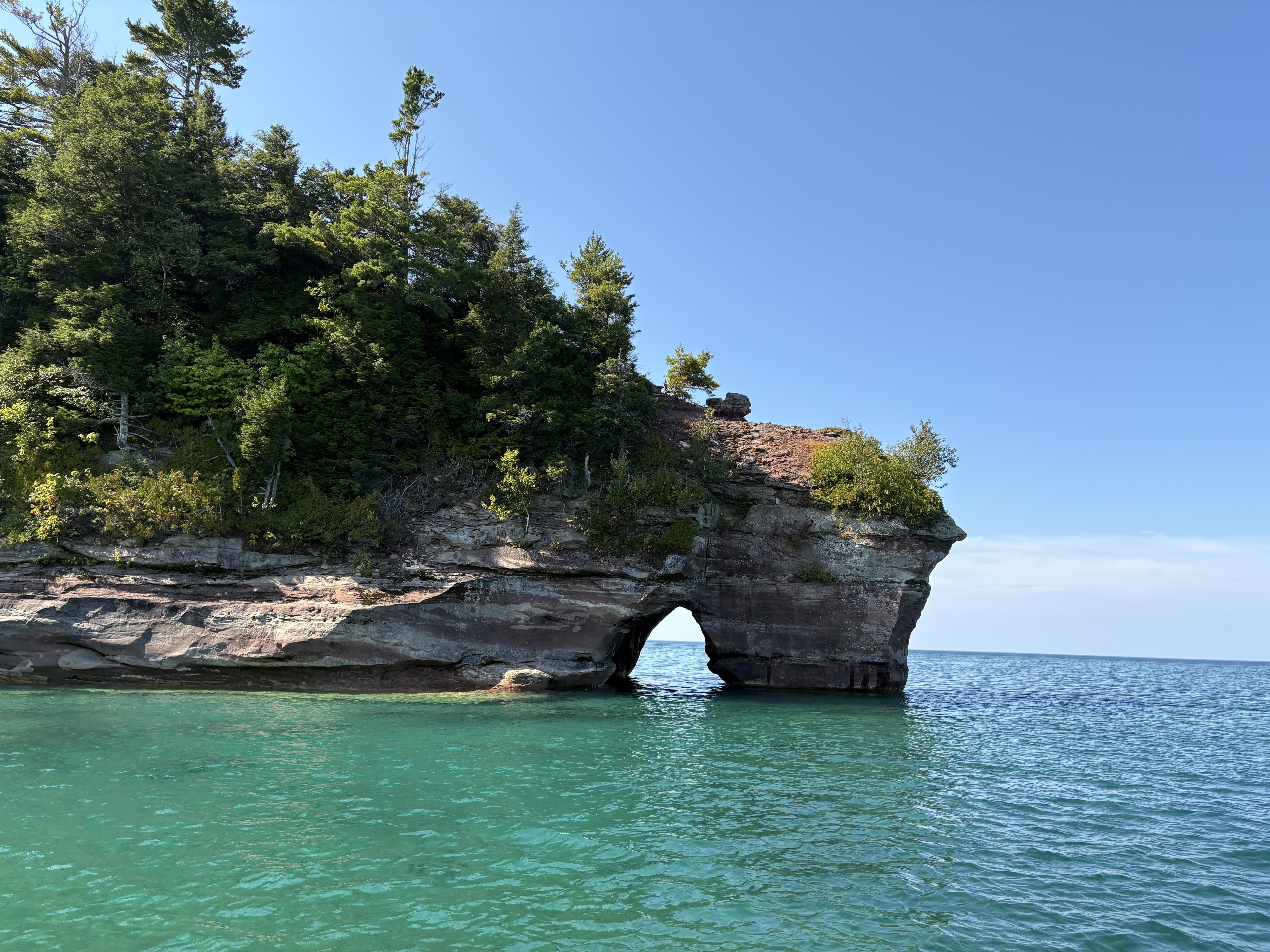
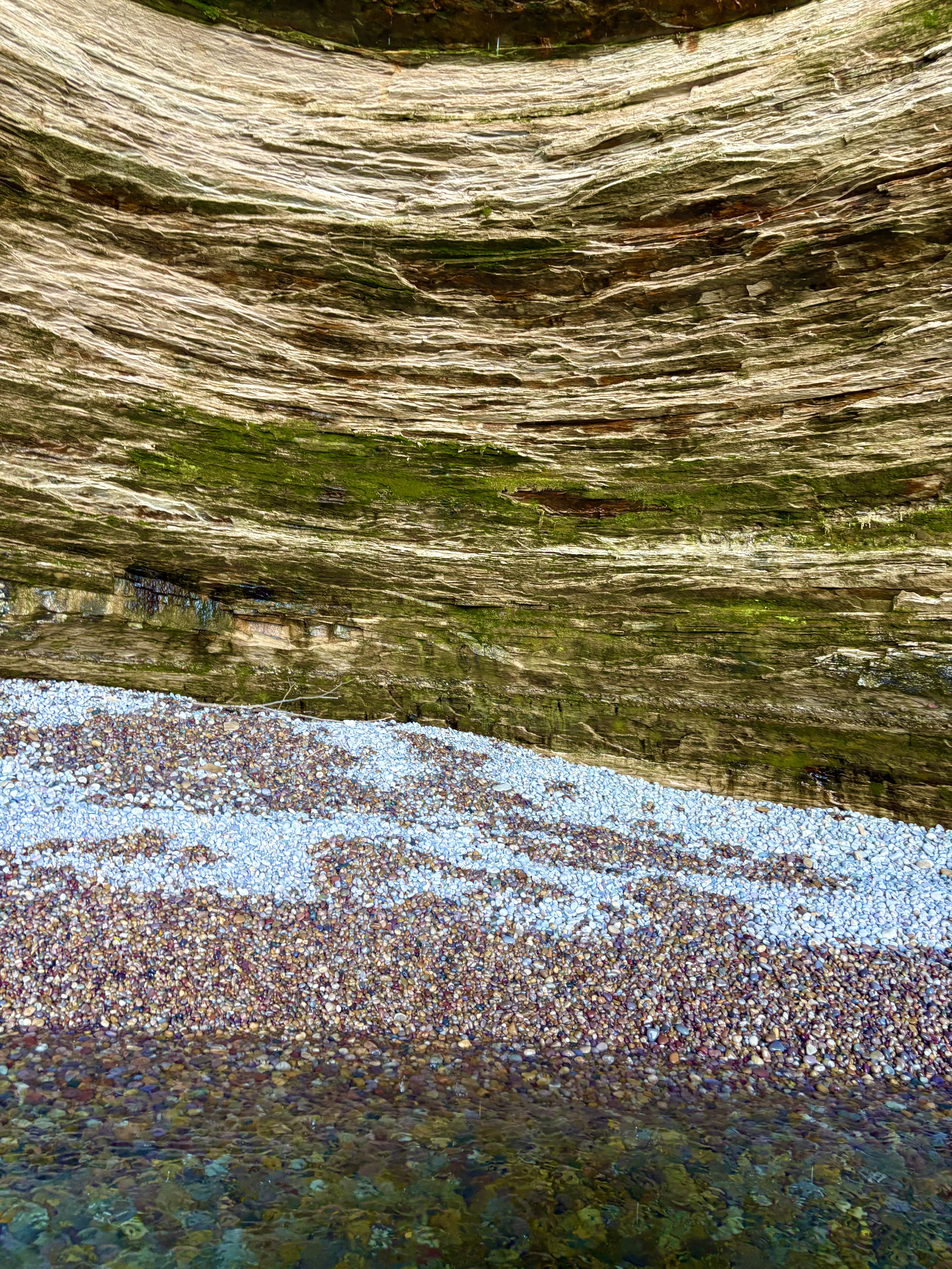
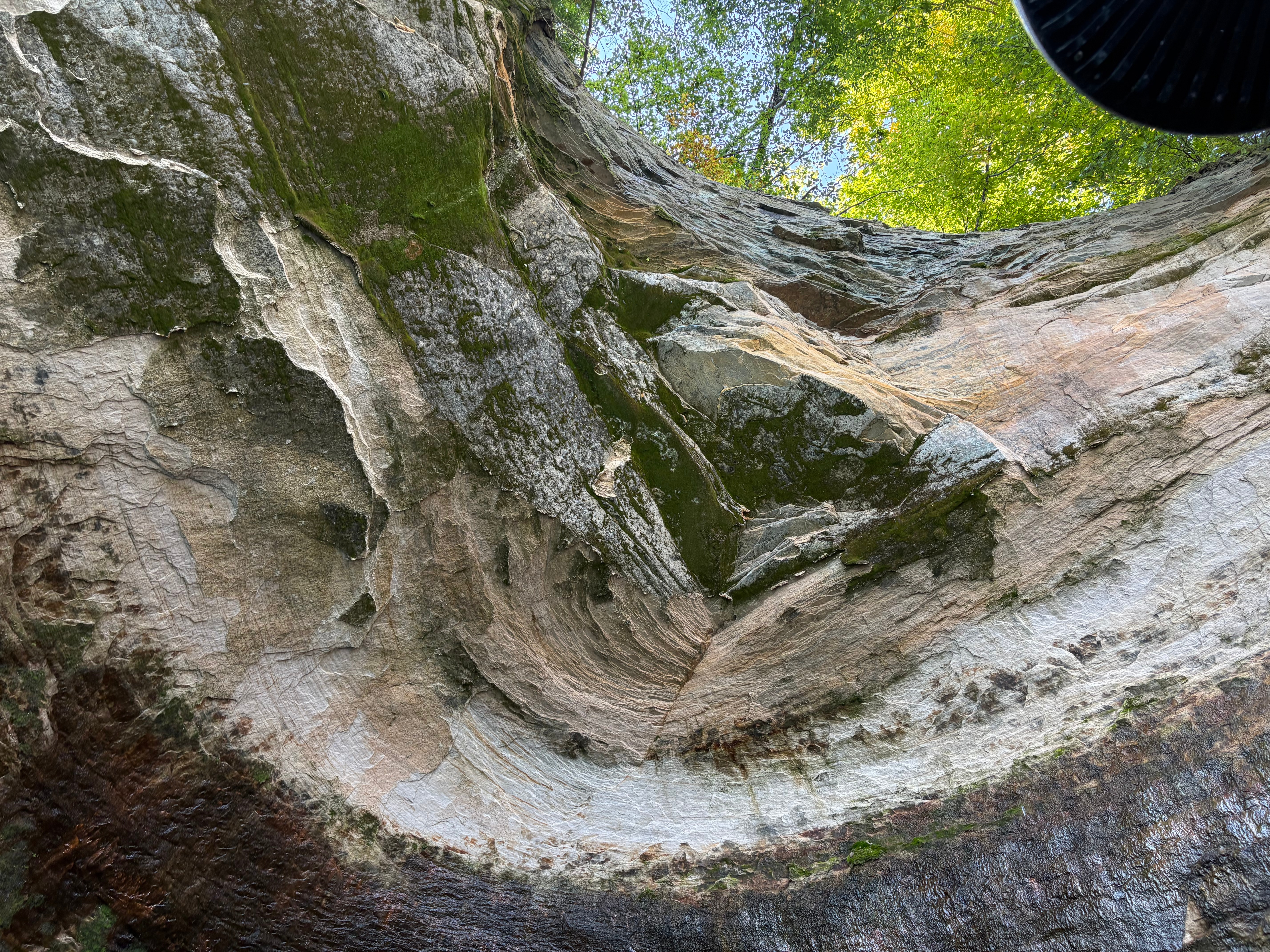
Grand Island’s geology is an extension of the sandstone strata of the adjacent Pictured Rocks National Lakeshore. Island sandstone cliffs as tall as 300 feet in height plunge down into the lake. A 23-mile perimeter trail skirts much of the island’s shoreline.
Part of the Hiawatha National Forest, under the jurisdiction of the U.S. Forest Service
only about 35 people live on the island, shared by eagles, loons, and black bears
access to the island is by ferry
then you are left to hike a few miles in to your home, lighthouse or small campground
(even more rocks to discover here!)
Offshore from Munising, the Grand Island National Recreation Area covers approximately 13,500 acres of Lake Superior woodland. Grand Island’s glacier-cut lake shoreline measures approximately 35 miles in length and is about 8 miles from north to south.
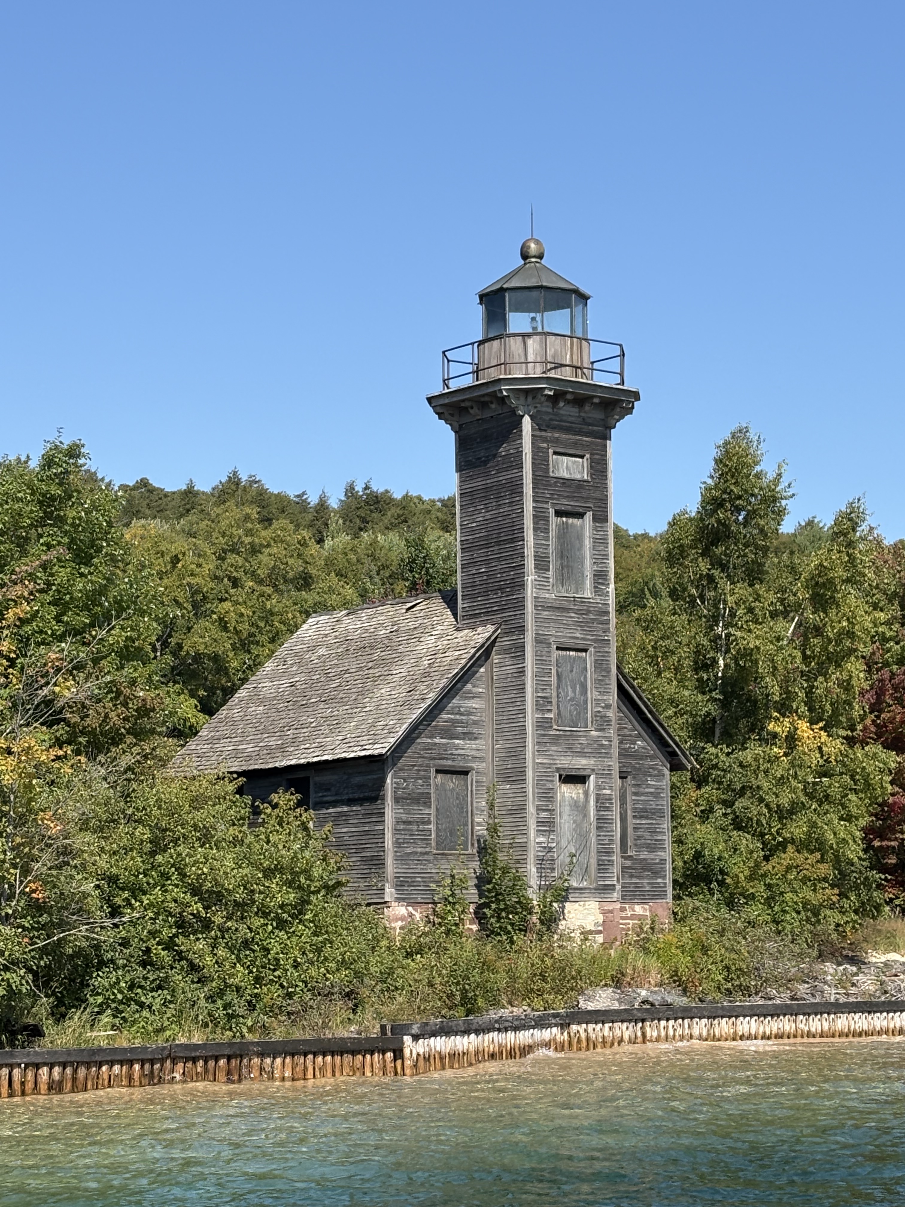
two historic lighthouses and the original houses of the first settlers
remain on the island to this day.
—
‘we talk of our mastery of nature, which sounds very grand;
but the fact is we respectfully adapt ourselves, first, to her ways.’
-clarence day
—
grand island, pictured rocks national shoreline, upper peninsula, michigan, usa
September 2025
—
source credits: Hiawatha National Forest – Grand Island
